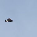
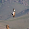
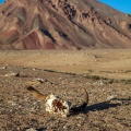
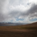
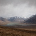
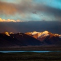
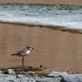
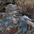
 - larus-brunnicephalus-tajikistan.jpg")


Information
- Copyright
- All Rights Reserved
- Author
- Philippe Chassot
- Rating score
- no rate
- Created on
- Monday 4 August 2014
- Posted on
- Tuesday 11 June 2019
- Visits
- 1194
- Dimensions
- 1008*672
- Filesize
- 94 KB
- Albums
-
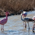
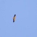
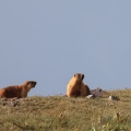
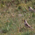
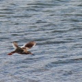
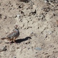
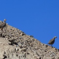
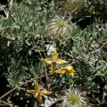
Animal / Bird / Charadriiformes
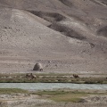
Browse by country / Tajikistan
EXIF Metadata
Canon Canon EOS 5D Mark II
f/6.3
400 mm
1/1000 s
200
1.0 EV
- Maker
- Canon
- Model
- Canon EOS 5D Mark II
- Exposure Time
- 1/1000 s
- Focal Length
- 400 mm
- Exposure compensation
- 1.0 EV
- ISO
- 200
- Date Time of Original
- 2014:08:04 10:47:06
- Latitude
- 37.457908333333
- Longitude
- 74.011702778333
- Aperture Number
- 6.3
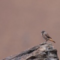
- Object name
- Larus brunnicephalus (Mouette du Tibet)
- Creator
- Philippe Chassot
- Sublocation
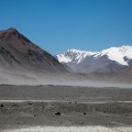
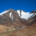
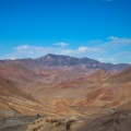
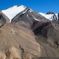
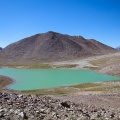
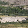
- Kokjigit lake
- Province-State
- Gorno-Badakhshan Autonomous Prov
- Country iso code
- TJ
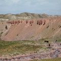
- Country
- Tajikistan
Powered by Piwigo