


Information
- Copyright
- All Rights Reserved
- Author
- Philippe Chassot
- Rating score
- no rate
- Created on
- Monday 28 July 2014
- Posted on
- Wednesday 12 June 2019
- Visits
- 549
- Dimensions
- 448*672
- Filesize
- 209 KB
- Albums
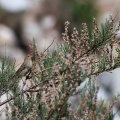
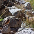
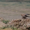
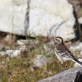
- Browse by country / Kyrgyzstan
EXIF Metadata
Canon Canon EOS 5D Mark II
f/5.6
60 mm
1/800 s
100
0.0 EV
- Maker
- Canon
- Model
- Canon EOS 5D Mark II
- Exposure Time
- 1/800 s
- Focal Length
- 60 mm
- Exposure compensation
- 0.0 EV
- ISO
- 100
- Date Time of Original
- 2014:07:28 09:52:12
- Latitude
- 39.486952778333
- Longitude
- 72.924013888333
- Aperture Number
- 5.6
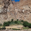
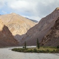
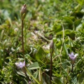
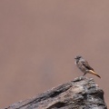
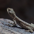
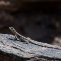
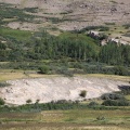
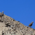
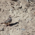
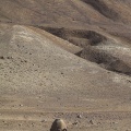
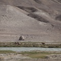
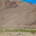
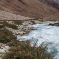
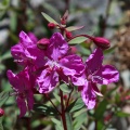
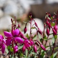
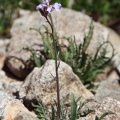
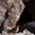
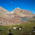
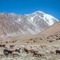
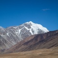
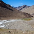
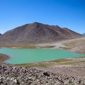
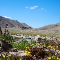
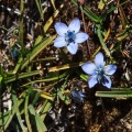
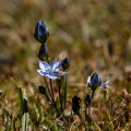
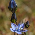
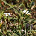
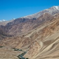
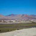
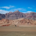
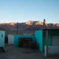
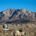
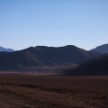
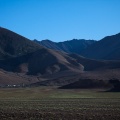
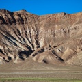
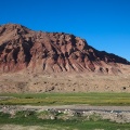
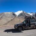
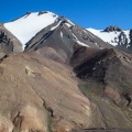
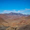
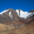
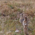
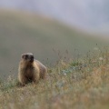
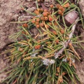
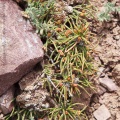
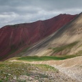
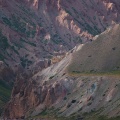
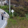
- Object name
- Tulpar kol and surrounding hills
- Creator
- Philippe Chassot
- City
- Chong-Alay District
- Sublocation
- Tulpar kol
- Province-State
- Osh Province
- Country iso code
- KG
- Country
- Kyrgyzstan
Powered by Piwigo